Terrifying detail spotted on live map of planes in the sky leaves people feeling uneasy
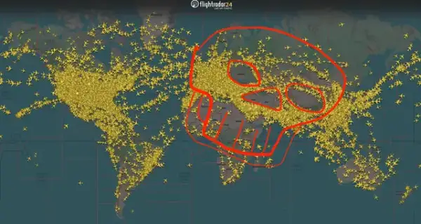
A map filled with aircraft symbols became an unexpected talking point when viewers noticed a familiar shape in the empty spaces: a skull.
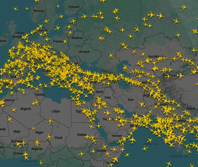
The Flightradar24 image described in the original report appeared to have eyes, a nose, and a mouth formed by areas with little visible air traffic. Gaps around Ukraine, Tibet, the Middle East and parts of Africa helped create the striking impression.
But the reasons behind those spaces are more revealing than the resemblance itself. They show how conflict, geography and emergency planning influence the routes aircraft take.
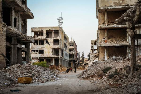
Photo: unsplash.com
Why airlines sometimes take the longer route
Airlines must consider what could happen throughout a journey, including whether an aircraft could safely divert and land.
In its explanation of gaps on flight maps, Flightradar24 points to Libya and Sudan as examples of places where conflict has influenced routing. Security concerns can make a detour preferable even when a more direct path would save time.
Ukraine provides another example. Following the destruction of Malaysia Airlines Flight MH17 in 2014, airlines began avoiding eastern Ukraine. The country closed its entire airspace to civil aviation when Russia launched its full-scale invasion in February 2022.
The conflict has also reshaped traffic across the Middle East. In June 2025, Israeli strikes on Iran were followed by airspace closures and widespread flight diversions. Such disruptions help explain why a particular snapshot can show large gaps, although that image should not be treated as a permanent picture of regional flight activity.
Tibet presents a different challenge.
The relatively sparse traffic over the Tibetan Plateau has a geographical explanation. High terrain complicates emergency planning, particularly if an aircraft loses cabin pressure.
After depressurization, crews use emergency oxygen and descend to a safer altitude. Around 10,000 feet is a common target, but only where the terrain permits; maintaining clearance from mountains remains essential.
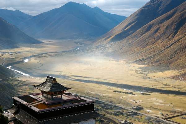
Photo: unsplash.com
Much of the Tibetan Plateau lies above that elevation. Aircraft therefore cannot simply descend straight to 10,000 feet while remaining safely above the ground. Flights operating in the region require suitable procedures and equipment, while many other services follow routes around it. This does not mean aircraft cannot fly over Tibet.
The skull-like outline may catch the eye first, but the more interesting story is the planning behind those empty spaces. A flight map shows more than aircraft positions: it also reveals how events on the ground and conditions below a route shape journeys through the sky.
Reasons for the gaps on Flight Radar24 map